
professional aerial photography, filming, surveys & inspections

Levitate Aerial Imaging
Today's drones can go places traditional photography can't, lower and closer than helicopters, higher, faster and further than still and videography, opening a world of opportunities for...
-
surveyors
-
architects
-
landowners and property developers
-
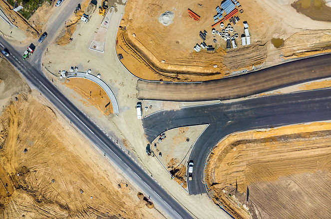
civil engineering and construction
-
insurance
-
estate agents
-
hotels & visitor attractions
Levitate Aerial Imaging drones deliver:
-
high-definition close-ups of buildings and roofs removing the need for expensive and time-consuming scaffolding
-
measure progress on construction projects and promote new developments with time-lapse video and photographs
-
unique perspectives on residential & commercial property to help sales and rentals
-
detailed aerial assessments for planning applications
-
unforgettable images of special events and special places
Not sure what Levitate Aerial Imaging can do for you? Check out our services and Frequently Asked Questions, or contact us and we'll get straight back to you.
Compliance & training
Levitate Aerial Imaging has an Operational Authorisation (OA) from the Civil Aviation Authority which enables us to operate legally and safely.
We also hold the new A2 CofC permission which means that with the correct classification of drone we can now operate in areas that would previously have been challenging, particularly built-up areas and city centres.
Our pilots have CAA-certified flying qualifications along with full public liability insurance, and operate within our strict safety and risk assessment procedures.